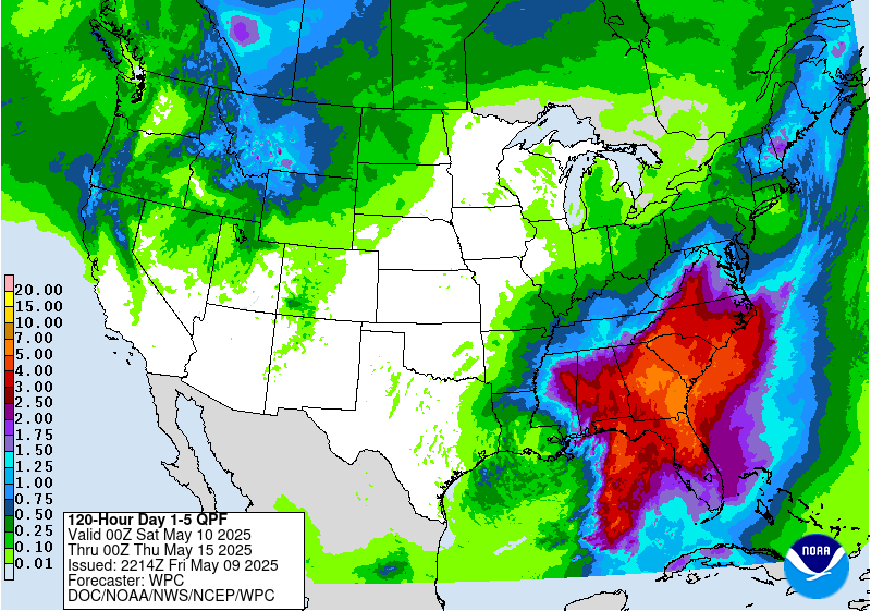
Drought Maps
The Interactive Drought Maps link will take you to the Southern Reginal Climate Center’s Integrated Water Portal where multiple indices, including the Standardized Precipitation Blend maps, can be accessed.
Due to a university-wide security update, our site's interaction with external pages and images might be affected. We're currently working on a fix for this, but can still access our drought maps. We're sorry for the inconvenience.
Interactive Drought Maps


